Smogornia is a peak with a height of 1,489 m above sea level, located on the Silesian Ridge, i.e. in the main ridge of the Karkonosze Mountains. In the west it connects with Tępy Szczyt (1,387 m above sea level), and in the east with Równia pod Śnieżką. Individual fragments of Smogornia have their own names, e.g. Srebrny Upłaz, Čertovo návrší, Čertova louka, or Stříbrne návrší.
Smogornia – what can you see while hiking to the top?
Unfortunately, the Smogornia peak itself is not accessible to tourists. There are no tourist trails leading to it, which is why it is one of the least visited Karkonosze massifs. Nevertheless, it is worth admiring. Smogornia is a peak that can be viewed from the Main Sudetes Trail running underneath it - the red trail runs along the northern slopes from the Karkonosze Pass to the Śnieżką Pass, which reaches its highest point at Słonecznik. The easiest way to get here is also by taking the green trail from Karpacz or the yellow trail from Borowice.
An arm extends from Smogornia towards the north-east and includes such peaks as Suszyca, Czarna Góra, Skalnica and the pass connecting with Czoło. The Polish-Czech border runs several dozen meters south of the peak.
Wedding, corporate event or with friends?

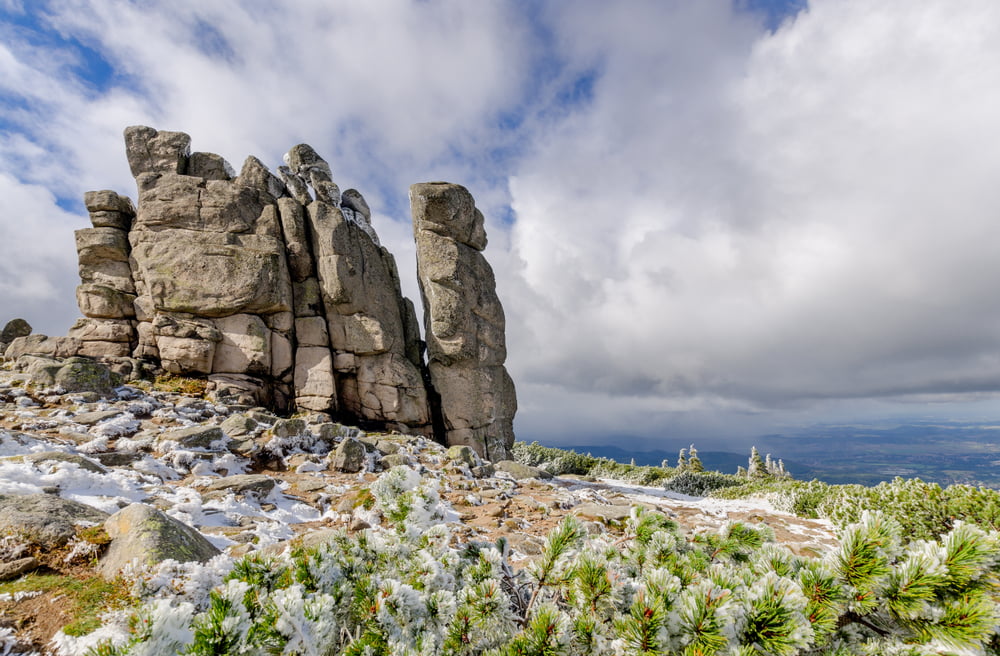
Smogornia is located in the area Karkonosze National Park. Its massif consists of Caucasian granite. There are extensive rock fields on its southern slopes. The top of Smogornia is almost entirely covered with mountain pine and mountain meadows.
What is the Smogorni Cauldron and why is it worth seeing?
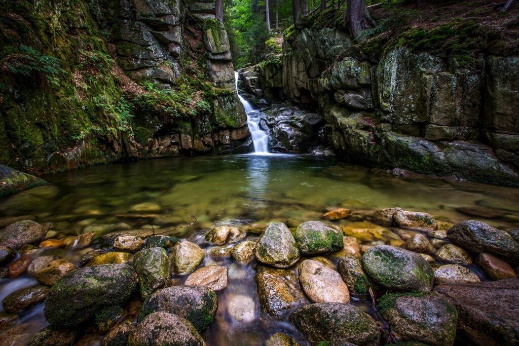
The eastern slopes of Smogornia are cut by the post-glacial cirques of Wielki Staw and Mały Staw. Between Smogornia and Tępy Szczyt there is the Wielki Pond Cauldron and the Smogorni Kocioł, where the Srebrny Potok, one of the 2.3 km long Podgórna tributaries, has its source. Throughout its entire course, Srebrny Potok flows through a gently sloping, V-shaped valley covered with forest, towards the Podgórna River, into which it flows at an altitude of approximately 920 m above sea level. Above the mouth of Podgórna, it forms Srebrne Cascades.

The Smogorni Cauldron is not actually a post-glacial cauldron, but a nival niche, i.e. a semicircular depression in the slope surface created as a result of the deteriorating activity of a snowflake that failed to transform into a mountain glacier, most often due to too little snow.
The Smogorni Cauldron was created as a result of snow cover in the upper part of the river valley. The entire process took place in the Pleistocene, the oldest epoch of the Quaternary. The walls of the niche slope gently, creating a narrow and shallow bottom. The slopes of the niche are partially covered with mountain pine. Many species of herbs also grow here.
What natural attractions are worth visiting while hiking the slopes of Smogornia?
The area of Smogornia is made of various types of granite, which in some places have developed into attractive rock formations. Their names are most often related to their shape or legends surrounding them. The formation of the peculiar forms of the Karkonosze rocks is mainly due to the way the granite cracks and its weathering process.
The most interesting rock formations that we can admire while walking on the slopes of Smogornia include:
- sunflower – a strongly cracked and fancifully formed rock formation, approximately 12 meters high, located at an altitude of 1,423 m above sea level, at the intersection of two tourist trails: red and yellow. Its name refers to the sun that appears over the rock at high noon.
- We are pilgrims – the largest rock group in the Karkonosze Mountains, up to 25 meters high. You can reach them by taking the yellow trail near Słonecznik. They are located at an altitude of 1,204 m above sea level. There are numerous cracks running in three directions. In 1757, part of the highest rock was damaged by lightning. The name Pilgrims comes from the shape of the rocks, which resemble human figures. According to local legend, they are sinful pilgrims turned into rocks. In the past, it was also believed that the weathering cauldrons located on the rocks were hollowed out by pagans who used them to make offerings to their gods inside the rock.
- Cats – rocks about 10 meters high, located near Pilgrims, at an altitude of 1090 m above sea level, on the very edge of Polana.
